Geosonda joins forces with imec and Universiteit Gent in the ARISE project (Aerial Soil Intelligence), generously supported by CitCom.ai TEF – Testing AI and Robotics in Smart Communities. The iconic site of the Battle of Waterloo sets the stage for our work, combining advanced hyperspectral aerial imaging with geophysical surveys and traditional soil investigation techniques.
ARISE sheds light on the local geomorphology to better understand how the Waterloo landscape influenced the outcome of the battle. At the same time, the project drives methodological progress in geosciences by combining traditional soil investigation techniques with advanced sensing and machine learning, with a focus on non-invasive exploration.
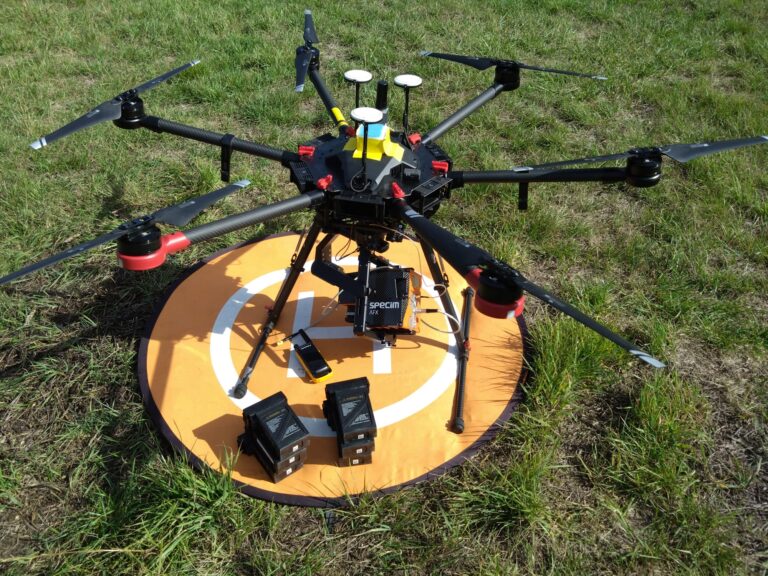
Remote sensing is performed using a multi-sensor drone rig, measuring the VIS, NIR, monochrome swir and thermal spectrum. In addition, a technological evolution in geophysical research is being applied, involving a magnetometric survey conducted using a UAV equipped with a magnetometer. From ground level, a geophysical survey is being conducted using electromagnetic induction (EMI) with a CMD Explorer to a depth of 6.7 metres below ground level.
Finally, the project investigates how anomaly detection can be applied in a (semi-)automatic manner by combining the results of the various techniques.